


projects
page 2 of 7
ZapMap
East Tactical Range (ETAC)
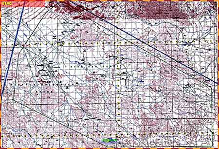
For each flying range, the Air Force's 1:50 maps were scanned (with lots of image stitching) and saved in three different sizes. The first "zoom" displays the smallest size map which is designed to display fully on a computer screen.
During training sessions, this was where the instructor often described the flight approach he and his student(s) would take toward the target. The SmartBoard really works great here, allowing the instructor to draw battle lines, locations of critical targets, flight paths, etc.
Clicking anywhere on the map would load the second largest map file while centering the display on the position clicked...