page 5 of 7
ZapMap
Target Airfield: Default View

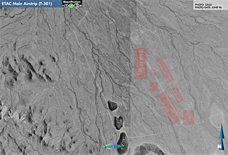
Clicking the airfield displays an aerial photo of the area. The pink areas are "hot" to the mouse and will display additional info about the item (I'll show an example a bit later).
The user can zoom out...
<<Previous 1 2 3 4 5 6 7 Next>>